ROANOKE, Va. (WFXR) — Bitterly cold conditions are anticipated across Southwest and Central Virginia for the next few days.
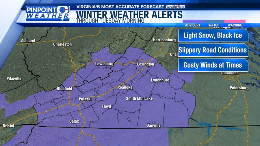
On Tuesday morning, snow flurries and upslope snow showers are possible west of the Blue Ridge. Due to sub-freezing temperatures in the 20s and teens, refreezing may have occurred overnight. Watch out for black ice during your morning commute.

Many will notice increasing sunshine on Tuesday. It will be breezy and cold with gusts as high as 30 mph. Afternoon highs will be in the frigid 20s and lower 30s along/west of the Blue Ridge. Temperatures in Central Virginia and Southside will top out in the middle/upper 30s.


The cold air will remain in place through the end of the week. For Wednesday and Thursday, morning lows will be in the teens while afternoon temperatures will rise into the 20s and lower 30s. Breezy winds will make it feel even colder.


Each day, mostly clear to partly cloudy skies will be overhead. Snow showers are possible toward the mountains of West Virginia on Wednesday.


Another storm system tracking out of the Gulf of Mexico may bring snow and a wintry mix to Southwest and Central Virginia late Friday into Saturday. The WFXR Pinpoint Weather Team will continue to monitor the situation.