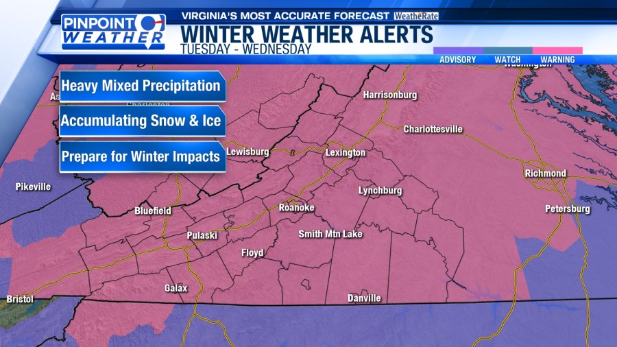
ROANOKE, Va. (WFXR) — Mixed winter precipitation is likely on Tuesday and Wednesday in Southwest and Central Virginia.
A Winter Storm Warning is in effect for all of Southwest and Central Virginia through Wednesday afternoon. Snow, sleet, and freezing rain are expected. An Ice Storm Warning will go into effect for Pocahontas County on Wednesday.


The threat of accumulating snow and ice will lead to slippery road conditions. Travel is not recommended. If you must head out on the roads, drive with extreme caution. Give yourself extra time to get to your destination safely. Leave plenty of room between you and the drivers ahead of you. Avoid sudden braking and/or acceleration, especially on hills and when making turns.

Be prepared for potential outages. Significant icing may weigh down tree branches and power lines, resulting in tree damage and power outages.
Due to below-freezing air in place, snow and sleet are expected for Tuesday morning. However, a passing warm front will result in warm air aloft. Snow will eventually change to sleet and freezing rain from south to north as the day continues. Temperatures will stay in the lower and middle 30s.


The wintry mix will remain in the forecast through Wednesday, although most of the precipitation will be rain and freezing rain with some sleet. Temperatures will remain in the 30s for the day.

Overall, the highest snowfall totals are expected along/north of I-64. Areas south of US 460 could see some accumulating snowfall, but ice will be more of a concern. Ice amounts of 0.05″ – 0.20″ are anticipated. Locally higher ice amounts may occur along the Blue Ridge.

Cold rain showers will linger into Thursday morning before tapering off as the day continues. Some afternoon sunshine is possible. Highs will be in the 40s.
High pressure will build into the area on Friday, leading to quieter weather. Morning lows will be in the lower 30s and 20s. Afternoon temperatures will reach the upper 30s and 40s.


Rain will return to the area for the weekend. Pockets of freezing rain may develop Saturday morning, but much of Southwest and Central Virginia will be dealing with periods of rain. Heavy rainfall could lead to flooding concerns.