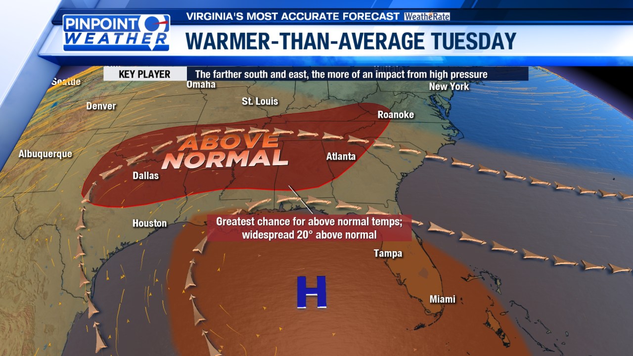
ROANOKE, Va. (WFXR) — Warmer-than-average temperatures will continue on Tuesday across Southwest and Central Virginia. However, noticeably cooler conditions are slated for Wednesday. Rain showers will return to the region.

A variable mix of sun and clouds is forecast for Tuesday. Winds will be breezy at times. In the mountains, highs will generally be in the 50s. The Roanoke Valley, Central Virginia, and Southside can expect afternoon temperatures in the 60s.


Northwest flow will result in noticeably cooler conditions on Wednesday. Morning temperatures will start in the chilly 30s before rising into the upper 30s and 40s by the afternoon under mostly cloudy to overcast skies.
Scattered rain showers are possible late Wednesday afternoon and evening as a storm system treks across the Ohio Valley. Periods of heavy rainfall are possible mainly west of the Blue Ridge. Pockets of wintry mix may leave a glaze of ice at higher elevations and in areas along/north of I-64.

For Thursday, occasional rain showers will remain in the forecast with mostly cloudy skies overhead. A warm southwest breeze will allow temperatures to rise into the upper 50s and lower/middle 60s by the afternoon.
Some rain showers may linger into Friday morning. Otherwise, clouds will gradually decrease during the day. Southwest and Central Virginia can expect breezy and warmer-than-average temperatures. Morning lows will be in the upper 30s and 40s. Afternoon highs will top out in the 50s and lower 60s.