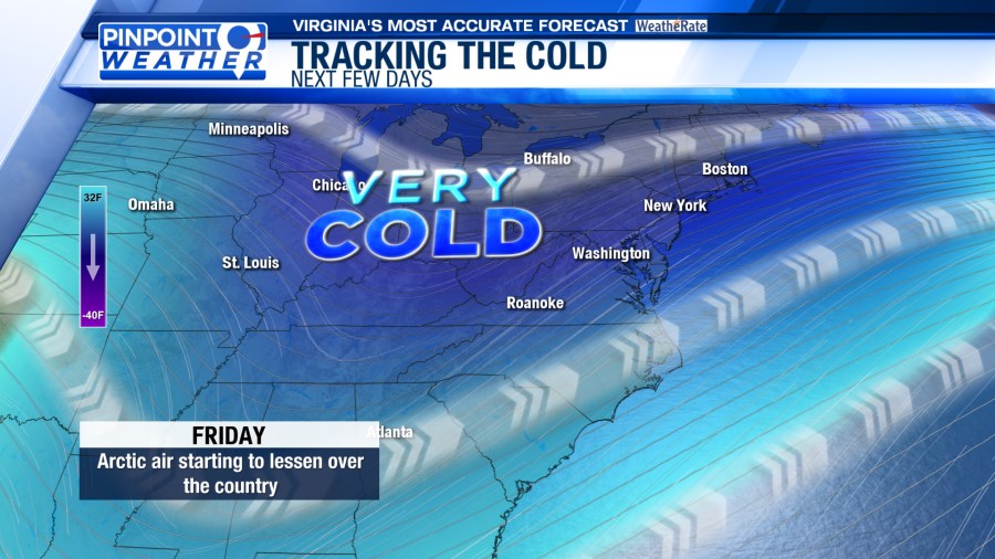
ROANOKE, Va. (WFXR) — Cold air will keep some locations in Southwest Virginia below freezing for Friday. However, a warming trend will take place over the weekend.
Light snow showers are possible on Friday morning near the West Virginia – Virginia line. Snow flurries may travel into parts of the Alleghany Highlands and New River Valley. Otherwise, variably cloudy skies are forecast for much of Southwest and Central Virginia on Friday. Morning temperatures will start in the teens and 20s. Afternoon highs will mainly be in the 30s.


Cold Weather Advisories will be in effect for western Greenbrier and northwestern Pocahontas counties from Friday night through Saturday morning. Wind chill values as low as 11 below zero may occur. Stay warm and wear layers when heading outdoors.

Slightly warmer conditions and plentiful sunshine are slated for Saturday. Morning lows will be in the very cold teens, but afternoon temperatures will rise into the upper 30s and lower/middle 40s.

Despite the variably cloudy skies overhead, Sunday will be warmer and closer to the seasonal average. Morning temperatures will start in the 20s before rising into the 40s by the afternoon. A few spots in Southside may hit the 50-degree mark.


A weak disturbance may bring isolated rain and snow showers to Southwest and Central Virginia on Monday. However, widespread precipitation is not anticipated. Afternoon highs will be in the seasonably cool 40s under a mix of sun and clouds.
Warmer conditions are slated for Tuesday and Wednesday. Afternoon temperatures will reach the upper 40s and lower/middle 50s.